

Coastal Erosion Beach Monitoring Through Community Action
We harness the power of citizen science to better understand and respond to coastal erosion beach dynamics in Tijuana and Rosarito.
Moreover, inspired by the successful CoastSnap model, our initiative invites residents and visitors alike to take part in building a community-driven coastal data record.
Monitoring Stations to Capture Coastal Erosion Beach Changes
We equipped our Monitoring Stations, strategically placed along the Tijuana and Rosarito coastlines—with durable smartphone holders that make participation simple and accessible.
How to Participate in Coastal Erosion Beach Observation
Snap a Photo
Place your smartphone in the fixed cradle to capture a consistent, panoramic view of the coastline.
Upload and Share
Scan the QR code at the station to easily send your image to our central database.
Why Coastal Erosion Beach Monitoring Matters
As a result, every photo, from sunny days to storms, contributes to a growing visual archive of the coastline.
For example, these community images show how erosion, tides, and seasonal changes actively reshape beaches, cliffs, and infrastructure.
Communities and scientists use this open-source dataset as a powerful tool for monitoring the coastal erosion beach:
Working Together for Coastal Resilience
This initiative supports scientists analyzing sediment loss and shoreline retreat, policymakers developing environmental regulations and climate adaptation strategies, and urban planners designing safer, more resilient coastal infrastructure by providing data, insights, and tools to inform their decisions and strengthen coastal protection efforts.
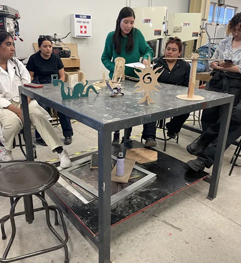
Students Lead Innovation in Beach Erosion Tools
Faculty of Engineering and Technology FCITEC, designed and built the Monitoring Stations through its Industrial Design program, guided by professors Tonatiuh Magaña Guzmán and Vladimir Becerril.
Professors Tonatiuh Magaña Guzmán and Vladimir Becerril guided their innovative design.


Coastal Monitoring Images Inform Smarter Management
By contributing a simple photo, you add to a growing visual archive that tracks seasonal shifts and long-term erosion and recovery trends. Scientists and planners use these images to inform sustainable coastal management strategies.
Building a Resilient Coastline Against Coastal Erosion
Help fortify our coast—donate through The Permanent Forum of Binational Waters today and power the science and local action that safeguards our shoreline.