Coastal Resilience: Enhancing Water Quality and Erosion Control

Powered by the Permanent Forum of Binational Waters, One Coast One Community fuses local expertise with participatory science to confront water quality issues and coastal erosion—strengthening the region’s coastal resilience.
Be part of the movement that transforms how we understand, protect, and cherish our shared coastal heritage.
Uniting Borders: A Binational Citizen Science Initiative
One Coast, One Community is a binational project focused on enhancing coastal resilience through citizen science.
Supported by the San Diego Foundation, it monitors water quality and erosion in coastal border communities.
This initiative brings together San Diego, Tijuana, and Rosarito through shared data and participatory environmental action.
The project follows four phases: vulnerability diagnosis, data infrastructure, citizen monitoring, and awareness expansion across the region.

A Four-Phase Action Plan for Coastal Resilience
Risk Identification
Analyzes climate and population data to locate the most vulnerable coastal zones.
Public Data Platform
Builds a centralized system to share beach erosion and water quality data.
Community Monitoring Tools
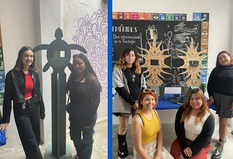
Installs user-friendly monitoring stations designed by UABC students for photo-based tracking.
Outreach and Partnerships
Promotes public awareness and collaborates with local groups to expand impact.
A Community Tool for Coastal Resilience and Water Quality
The One Coast, One Community dashboard is a powerful digital tool designed for public use and community-driven environmental action. It serves as a central hub where users can explore historical water quality and coastal erosion data from both Mexico and the U.S.
Users can sort and filter data by year, parameter, monitoring agency, and location for more targeted, useful analysis. Interactive graphs make it easy to understand complex trends and changes in coastal water quality over time.
A user-friendly dashboard shows how much data each agency collected by year, offering a clear view of coverage. The dashboard is open access, allowing students, researchers, residents, and decision-makers to engage directly with environmental information.
This first version already includes key data sets, with regular updates and new features planned to improve user experience.
By making environmental data accessible, the platform empowers local communities to understand and protect their coastlines more effectively.