At One Community, One Coast, we harness the collective power of citizen observations to better understand and manage our dynamic coastlines. Drawing inspiration from the CoastSnap initiative, we’ve adapted this approach to specifically focus on the coastal regions of Tijuana and Rosarito.
How You Can Participate
Visit Our Monitoring Stations: Our stations, located at key points along the Tijuana and Rosarito coastlines, feature specially designed stations that hold your smartphone.
• Snap a Photo: Secure your smartphone in the cradle to take a consistent, perfectly angled photo of the beach.
• Share Your Snap: After capturing the image, use the QR code at the station to upload your photo directly to our project database.


Students’ Role in Shaping Our Project
The monitoring stations that make this citizen science possible were innovatively designed by industrious students from UABC Valle de las Palmas. These students, under the guidance of their professors Tonatiuh Magaña Guzman and Vladimir Becerril, have not only conceptualized but also engineered these unique structures to withstand the coastal environment while providing the perfect framework for consistent photographic data collection.


How Your Contributions Help
Each photo you submit becomes an essential data point that aids in documenting seasonal changes and long-term trends in beach erosion and recovery. This growing dataset is crucial for researchers and policymakers to understand the factors influencing our coastlines and to develop effective management strategies.
Building a Resilient Coastline Together
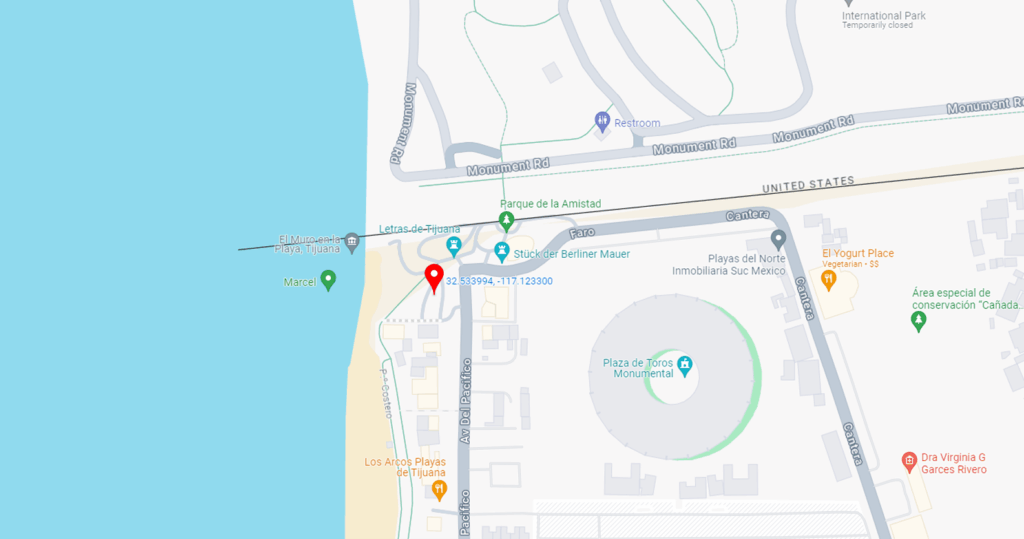
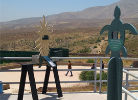
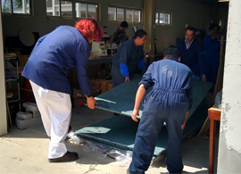
Your active participation brings together local citizens, researchers, and policymakers, fostering a profound connection with our coastal environment. Through “One Community, One Coast,” we are not just monitoring environmental changes; we are engaging in proactive stewardship to preserve and enhance our cherished coastal heritage.